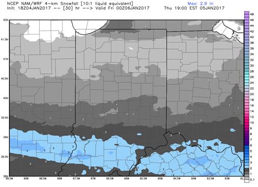
 Light snows overspread the state today, as high pressure moves in with a little moisture trapped underneath. This will lead to fairly constant snow shower activity across the state, but and some minor accumulations when all is said and done. However, the best accumulations will be in the central and southern parts of the state where snow is a little less frequent, so there can be some travel issues through the day today. We will need to watch for some slick spots at times, although winds will not be overly strong in the central and south. We like accumulations today from a coating to 3”, with the coating most likely up to the north, and accumulations increasing to closer to the 3 inch range in southern Indiana. Best timing is from early this morning right on through the day. . North winds may enhance the snow potential over far northern parts of the state in typical lake effect areas. The map above shows snow totals through 7 pm today.
Dry weather is back in for tomorrow through next Monday. Cold temps hold over the state thanks to strong northwest flow through the weekend. However, as we translate onto the backside of high pressure on Monday, we should see southwest winds develop over the state, and that will begin to moderate temps somewhat.
Scattered light rain shower action develops early on Tuesday of next week, and then we see much stronger rain action move in late in the afternoon through the overnight and into early Wednesday. By Wednesday noon, all rains should be off to the east, meaning this system is picking up speed, and is developing into a nice frontal passage, rather than being a slow, sagging, stagnating front ending up in the OH Valley. This should promote rain totals of .25”-.75” with coverage at 90% of the state. Much colder air comes in behind, but it should be well after the moisture has left, so at this point, we still do not have major concerns over any rain changing to snow.
Dry for Thursday and Friday. Colder than normal temps will settle over the state, with temps struggling to work through the 20s in the north, and barely getting into the 30s in the south. Then, as we move into the following weekend, we see a strong low lifting out of the mid-Mississippi river valley, bringing plenty of moisture with it. WE are concerned that we can see a rain/snow mix over the state. However, models are far apart on this period, with the GFS staying very warm, and very wet, with the best moisture waiting until closer to the 17th. Our bias as this point will continue to be colder, with active systems passing through. That will lead us to look for some rain and snow potential for the 14th and 15th, and then another system likely farther out in the extended window, closer to the 19th. Moisture totals from these systems will be up to half an inch of liquid equivalent. However, it could be more, as we are taking a very conservative approach to these systems at this time.
Bundle up…cold air will dominate for the coming few days, and even the moderating push next week will only last a day or two. It is definitely winter across the Hoosier state.
